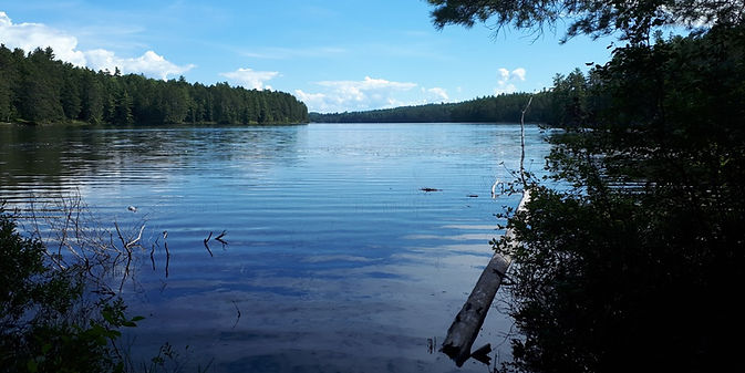
Gross Lake to Loonskin Lake Loop
June 26, 2021
Notes made the evening after the hike
Notes:
-
While there are logging roads and partly grown over trails for sections of the hike, several kms of bushwhacking are required.
-
For the section along Gross Creek, around the shore of Gross Lake, and overland to Loonskin Lake there is no designated route or trail.
-
This hike takes a full day. Distance - revised - 26.54 km
-
The starting point was the hydro line near the bridge over the Bonnechere River close to the start of the cart trail to McKaskill Lake (see Jeff`s map).
-
From the northwest corner of Gross Lake to Loonskin Lake (rugged terrain, a high point of 360m, requires map, compass and/or GPS)
-
After reaching Loonskin Lake we went west along the shore of the lake to get on the portage trail that goes to North Branch Lake.
-
Before reaching North Branch take logging road south, parallel to the North Bonnechere River, back to the hydro line and starting point.

Route: Hydro line to Gross Lk, over to Loonskin Lk, along the portage toward North Branch Lk, then south along the North Bonnechere River back to the starting point.
Map courtesy of Maps by Jeff

View of the area from Gross Creek to Loonskin Lk - the bushwhacking part of the hike
Image courtesy of Google Earth
The follwing photos were taken along the portage between North Branch Lake and Loonskin Lake.

The put-in at Loonskin Lk coming from North Branch Lk

Beaver meadow along the portage trail


Lush moss-covered ground