Hike to Turcotte & Guthrie Lakes
April 20, 2022
This hike took place not long after ice off in the spring of 2022. The trek would take us along Basin Lake and then north to Turcotte and Guthrie Lakes. The starting point was Basin Depot, located 5 km from the Basin Lake access point. The access road to Basin Depot is sometimes very soft in the month of April if the frost is still leaving the ground, but on this particular trip it was not a problem.

Log structure at Basin Depot -- the oldest building in Algonquin Park.
The Friends of Bonnechere Park website notes that “As early as 1852, several roads radiated from Basin Depot to logging camps on the Madawaska River, the Petawawa and the Barron.”
The building in the photo above dates from 1892. A log structure, it is the oldest building in Algonquin Park, and served as an office, harness shop, school house and, at one time, a hospital. The Park was expanded in 1914 to take in the eastern region including Basin Depot

Basin Lake
Our route -- There is a trail along the east side of Basin Lake that ends at a marsh above the lake. Beyond this point bushwhacking is required to find remnants of an old trail. Note – Some of the trails shown on the following two topographic maps are now grown over.

Campsite on Basin Lake.

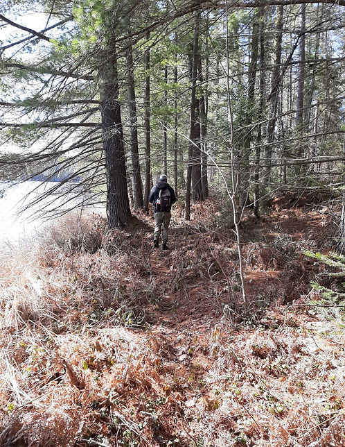
Trail along Basin Lake.

Route - part one

Route - part 2
Note - the trail to Clover Lake shown on this older topographic map is now grown over.
The following photo shows the large marsh located at the north end of Guthrie Lake. For anyone hiking in and wanting to get to the old ranger cabin, it requires finding a way across or around this marsh.

Marsh at the north end of Guthrie Lake.
We decided not to go the long way around the marsh and, instead, crossed the beaver dam. From there we crossed over to the stream that flows out of Guthrie into Turcotte Lake.

Crossing the beaver dam.

The stream flowing from Guthrie Lake to Turcotte Lake.


Turcotte Lake - a cold breeze coming off the lake.
The portage from Turcotte Lake to Clover Lake is located to the east of this stream. See Jeff’s map below

Portage from Turcotte Lk to Guthrie Lk (map courtesy of Maps by Jeff)

Following an animal trail toward the old ranger cabin on Guthrie Lake.

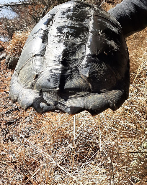
Shell of a large snapping turtle that was found along the stream. This reminded me that in the 1970s I heard people from the upper Ottawa Valley refer to Guthrie Lake as Turtle Lake.

Remains of the ranger cabin on Guthrie Lk. I first visited the cabin in Feb. 1974 at which time it could still provide winter shelter; stayed again for 2 nights in the spring of 1981.
Two photos from a hike to Guthrie Lake made the previous year – just before ice off – April 6, 2021.


Distance covered – approx. 19.5 km return. Route shown is not exact.
Map courtesy of Maps by Jeff